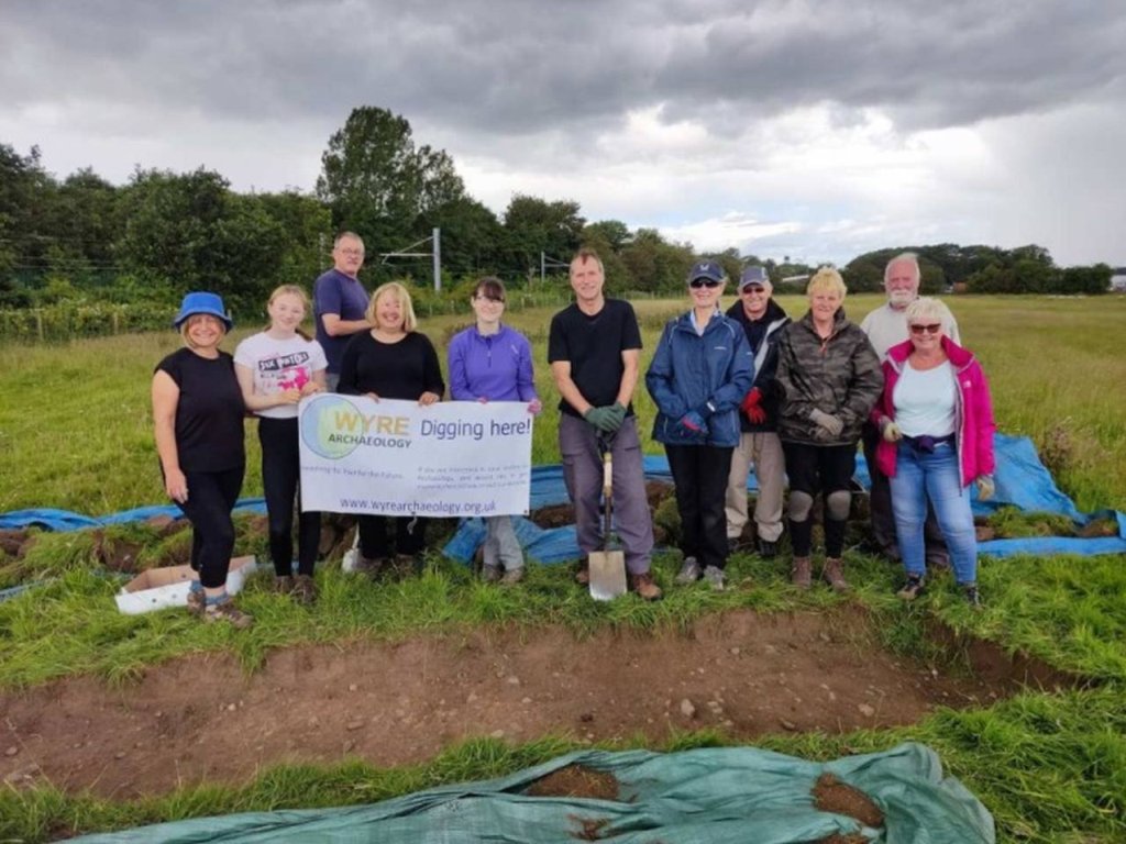
In early June 2022, one of our members, Helen Coulthard, was given permission to metal detect on the land at Helme farm, Lea. Immediately this caused great interest since it was rumoured that the Roman road between Preston and Kirkham went over this land. A few days later, Helen contacted our secretary Dave Hampson and a visit was arranged, along with Dave Berry, to the site.
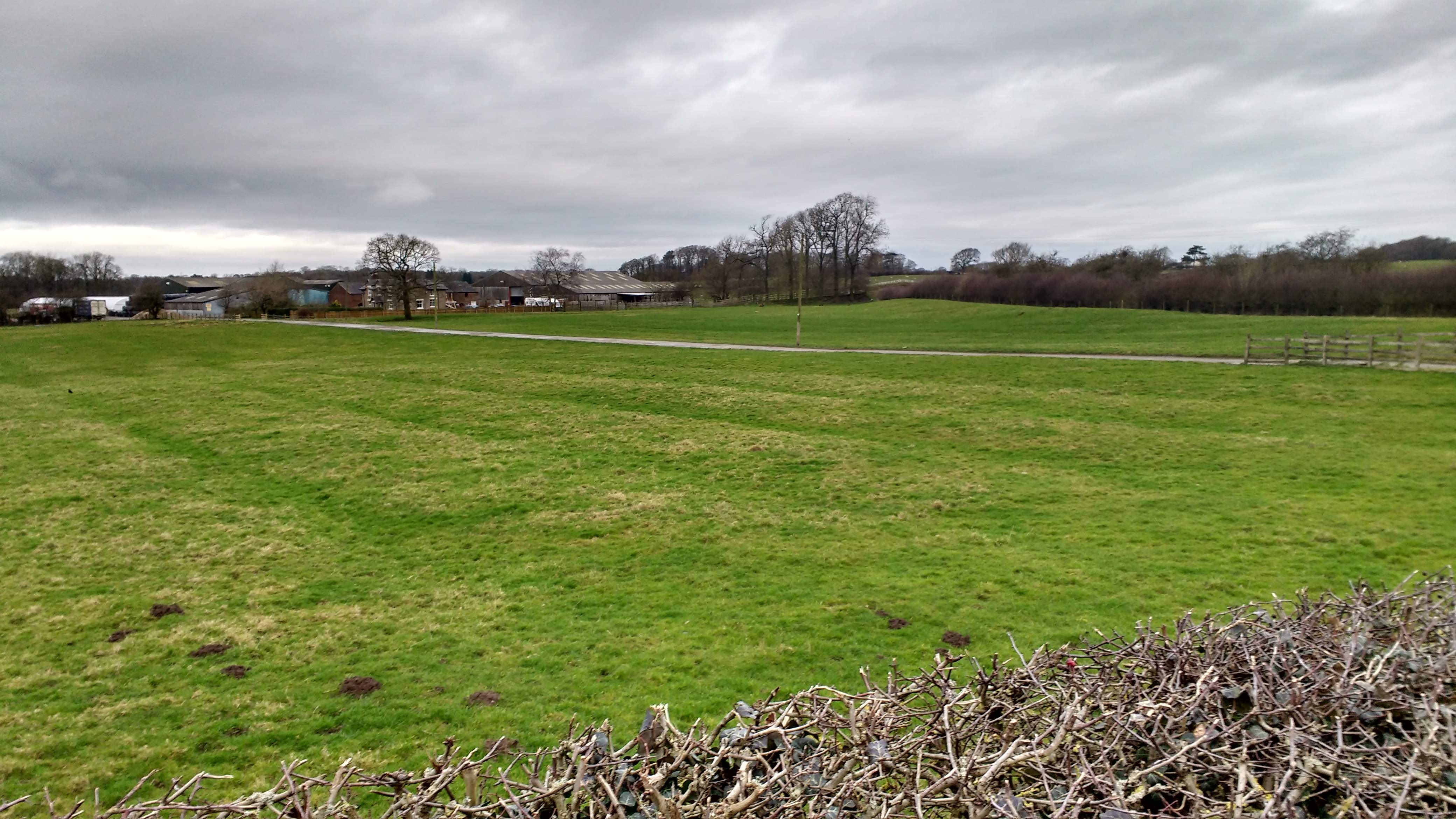
The image above, taken several years ago, looked intriguing but there are a number of problems with it. If it was a Roman road it would seem to have too many ditches and, more importantly, they were pointing slightly in the wrong direction. The site was probed in a number of areas without success. Mr Helme mentioned that he had heard that the road went through the farm garden we decided to probe on the far side of the track. Nothing was found.
Overnight the OS maps and LIDAR were examined and it was obvious that we were looking in the wrong place.
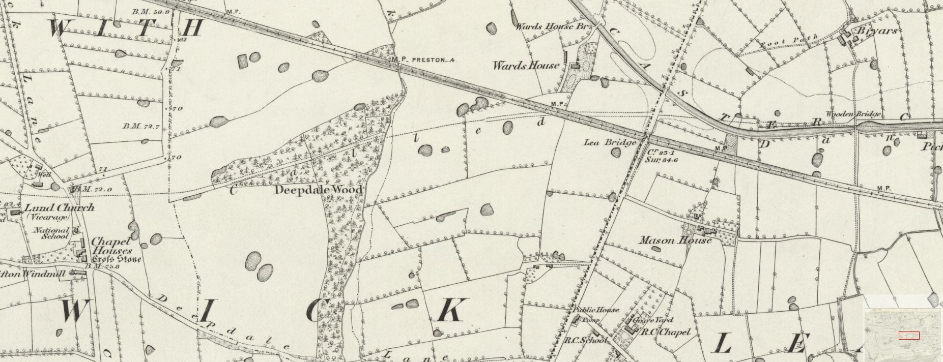
This earliest OS map from the 1840's shows Wards House farm, which is now Helme farm. Just to the right of the farm, between the canal and the railway a track is shown. This was supposed to have been the track of the Roman road but little credence was given to this because the OS maps from that time also show a road to the west of Kirkham and this has never been found. However, the LIDAR image does reinforce this possibility.
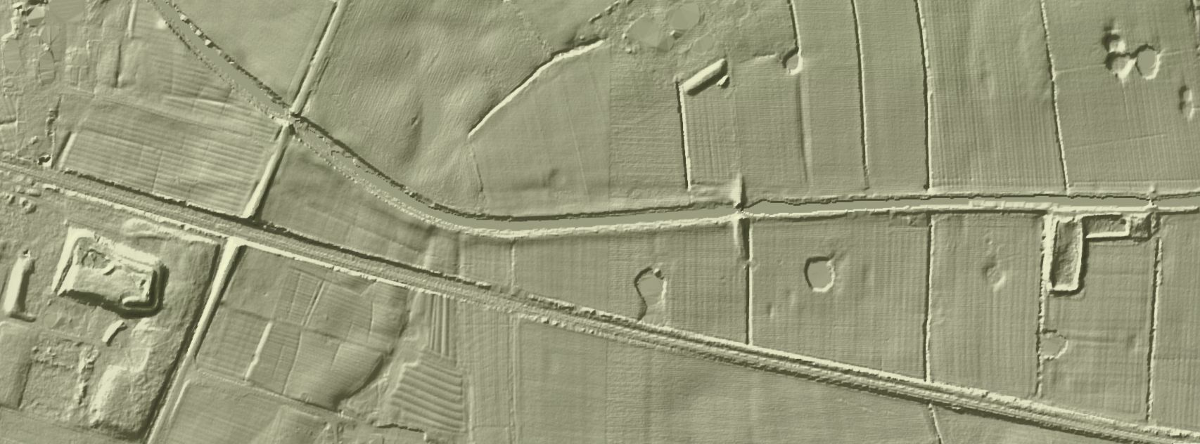
The important area on this map is towards the left-hand side. The "main" road can be seen passing between the canal and the railway and there is a faint shadow following the line shown is the OS map.
At the monthly meeting on the 15th June it was decided to put in a dig on this line.
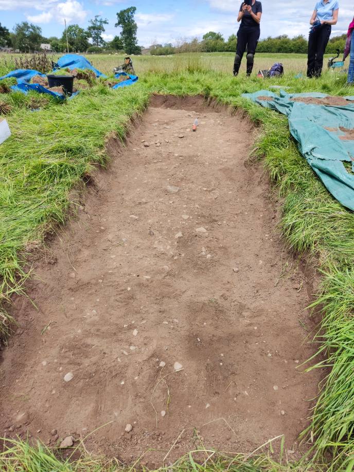
On Saturday, 25th June a large group of members assembled to determine the route of the Roman road once and for all. Between the last visit and the actual dig the ground had hardened. Fortunately probing and a couple of test pits seemed to isolate the road.
With a number of willing helpers an 8m trench was opened and the road surfaced exposed around 10cm down. The surfaces consisted of, mainly, small stones which, for some, was a slight disappointment - nothing like a road in Pompeii. The Roman road between Ribchester and Preston, when it was investigated, had a similar structure. Possibly the top surface had, over the years, been destroyed by ploughing.
One of the first things that we noticed was the slope going down into the ditch. Probably 0.5m difference between the top of the surface and the start of the ditch.
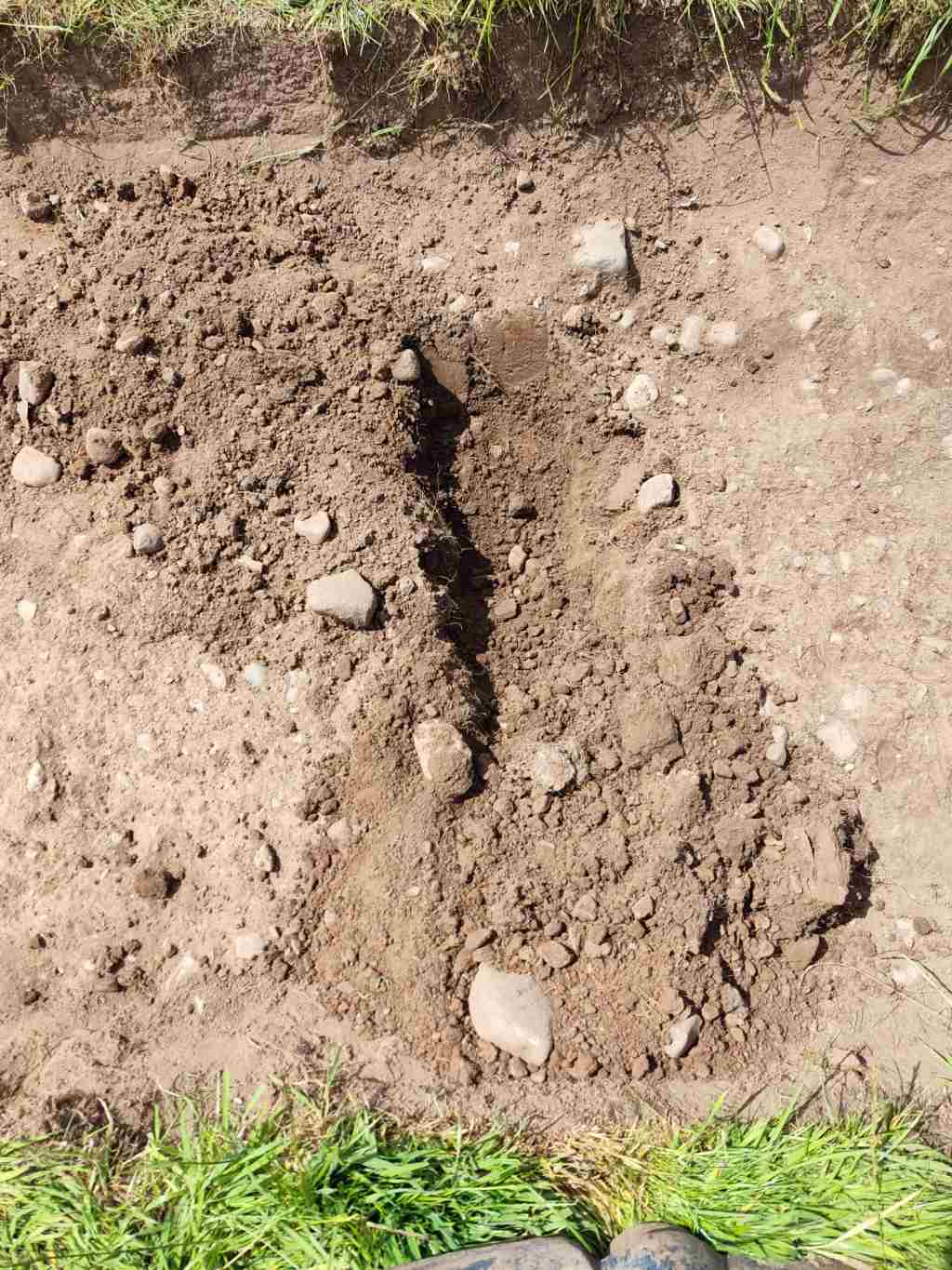
At the end of the day it was decided to break through the top surface looking for other structures. Although there were some larger stones the lower layers mainly consisted of packed clay. It was assumed that the camber of the road would have quickly shed any water.
A large number of new members came on this dig it had a successful outcome.